Werner Herzog, the prolific filmmaker of iconic movies such as The Enigma of Kaspar Hauser and Fitzcarraldo, recently wrote and directed Lo and Behold, a film exploring how the Internet has been changing the world and human relations as dramatically as language itself. Herzog depicts the marvels and risks of society’s reliance on the Internet, which can connect people and build social power, but can also result in catastrophic consequences if the network is disrupted. In his multifaceted view, Herzog makes clear that our society needs the Internet, but remained silent when Jason Tanz of Wired asked: “Yes, but does the Internet need us?”.
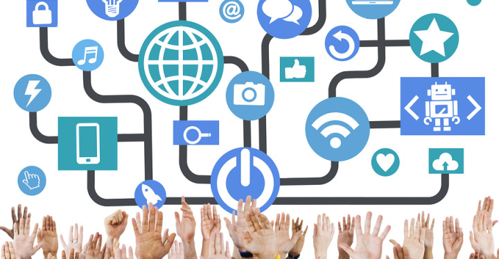
 The Internet is the infrastructural backbone of the massive exchange of data that is produced and exchanged every second. In 2015, mankind produced as much data as it created in all the previous years of human civilization. And still, data generation continues to grow exponentially. Today, the amount of worldwide data produced doubles every 12 months. Soon, it will double every 12 hours [1]. In only four years, the world will reach 3.4 networked devices per capita, with the global IP (internet protocol) traffic growing 22% annually between 2015 and 2020 [2].
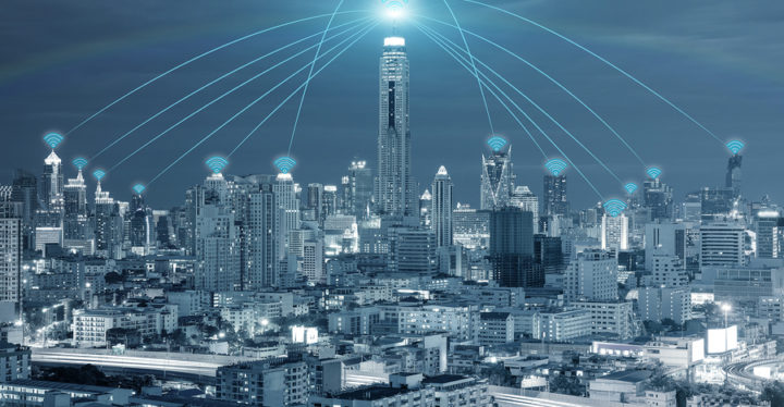
The underlying reason for this growth is the increasing communication between devices–-or the Internet of Things (IoT). In fact, machine-to-machine IP traffic will grow 44% each year until 2020 [2]. Essentially, the Internet is entering the physical space, not as an additional layer, but as its very essence.
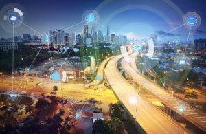
Digital technologies are increasingly being woven into space and integrated into the very material fabric of cities. We are now experiencing the convergence of digital information (bits) and the physical environment (bricks). Cities are becoming hybrid composites of “bits and bricks,” of materiality and information–-bound together by cheap, small, and powerful computers. These devices are quickly transforming our cities into “computers in open air.” Sensors embedded in our phones, computers, and cars, as well as in streetlights and buildings, collect huge amounts of data of our daily activities through active and passive means. We are surrounded by an invisible “smart dust” [3], large-scale networks of wireless sensors that enable space to sense, intercommunicate, and activate.
Through pervasive technologies and ubiquitous computing, data is “gradually becom[ing] a part of how we see the world” [4]. At the core of smart cities a key question arises: How can big data and the IoT be used for urban analysis?
To foster the integration and cooperation of different devices in the context of smart cities, international standardization bodies play an important role, with the goal of avoiding the creation of intranets of things, where many small networks of devices work in isolation. This would remove the main value of IoT, which is the collaboration between different devices to obtain a better understanding of the surrounding world. For this reason, standardization efforts are actually focused on communication stacks, including application and transportation layers for IoT solutions; protocols based on the publisher-subscriber paradigms; and routing protocols supporting point-to-point, point-to-multipoint, and multipoint-to-point communications flows.
However, the beauty of the IoT and data analytics is beyond devising algorithms to solve complex mathematical problems. Rather, it relies on uncovering the stories behind what apparently seems to be only anonymous data, understanding the consequences of all of this, and designing cities that leverage the potential of these technological shifts. Applications can range from detecting the presence of people and activating lighting, heating, and cooling systems accordingly; building using materials that react to temperature changes and lighting conditions (both with huge energy-savings benefits); creating augmented-reality experiences; and employing the sensors already embedded in our devices to diagnose urban infrastructure.
This article illustrates some of the work by the MIT Senseable City Lab on mobility. If the car is widely considered one of the major forces shaping cities in the 20th century [5], ICT-enabled (information and communication technologies) mobility is likely to shape the 21st.
In New York City, the more than 170 million taxi rides per year reveal the pulse of the city. At the MIT Senseable City Lab, rides of the more than 13,500 Medallion taxis in New York over 40 billion possible street segment pairs were mapped. The analysis of all these trips not only shows how people move around the city, but also helps to discover other potential benefits from this rich dataset. For example, by matching each trip’s pick-up and drop-off points with the starting and ending time, researchers modeled trip-sharing opportunities, introducing the concept of “shareability networks” [6]. It was discovered that with minimal inconvenience to passengers, sharing could reduce the number of trips in New York by 40%-–thereby reducing car-related emissions, and resulting in economic savings for millions of people.
Shareability could be enhanced when coupled with driverless cars that will be increasingly circulating in cities over the coming years. As vehicles begin to connect with each other and exchange data online, a “moving web” could emerge–-a moving web which would collect data of multiple transportation modes, generating real-time information of how, where, how fast, and by which modes people move. Imagine a unique platform to share mobility information among all transportation providers, creating a more transparent marketplace for online transportation and logistics services, and a level playing field for all entrants and users. MIT research[1] shows that the mobility demands of a city such as Singapore could be satisfied by just one-fifth of the number of cars currently in use. Such reductions in car numbers would dramatically lower the cost of our mobility infrastructure and the embodied energy associated with building and maintenance. Fewer cars may also mean shorter travel times, less congestion, and a smaller environmental impact.
The correlation between how, when, and where people move about a city and human exposure to pollutants is crucial public health information. As people move throughout a city, they leave behind digital breadcrumbs. Revealing such movements can literally save lives. Air pollution is responsible for over seven million deaths each year, a problem that is more acute in urban areas. Although New York has an extensive network of 155 stations to monitor air quality, studies of human exposure to pollution have considered a person’s location based on Census data. The problem with this data is that it is based on a person’s residence–-and therefore considers people fixed in space and time. In order to tackle this problem and to understand a person’s location in different parts of the city at different times of the day, 121 days of 3G mobile traffic data from several operators and different types of mobile devices were analyzed. By matching a person’s movements with air pollution measurements, it was shown that areas considered to have low exposure rates to pollutants based on a person’s residence, such as Midtown Manhattan, actually had the highest exposure when a person’s movements were taken into account [7]. By combining different urban datasets that are not usually seen as part of the same phenomenon, data analytics can create new ways of understanding urban and environmental dynamics.
Big data and the IoT are revolutionizing how we understand, design, and manage cities. However, the over-reliance on data analytics without considering its context risks creating a data-driven technocracy where any unexpected behavior is suspicious. This particular view of smart cities eliminates the possibility of being surprised, of experiencing unforeseen phenomena, and of being challenged by unexpected outcomes for which there are no protocols and standards. As we generate and exchange huge amounts of data, “smartness” should also generate new information about the different human behaviors that arise when we are confronted with unexpected situations, and the emergence of new ideas and ways to think and experience the world.
This paper puts forward the necessity of a change in the paradigm of how we treat and discuss the smart city. “Smart city” has become the buzzword for urban planning in recent years. In fact, the term “smart city” has been overused and sometimes abused over the past few years. That is why it is preferable to use the term “senseable city” instead, because it emphasizes the human side, instead of the technology side, at the center. The word senseable has a double meaning; it means “able to sense” and “sensible.” The common denominator of all of the Senseable City Lab’s projects, including those discussed in this paper, is that they are focused on people, rather than technology per se. The fact that our cities are becoming “senseable” is simply the manifestation of a broad technological trend. The Internet is entering the spaces we live in, and is becoming the IoT, impacting our ways to understand, design, and ultimately live in cities.
References
[1] IBM, “The toxic terabyte: How data-dumping threatens business efficiency,” IBM Global Technological Service, Tech. Rep., 2006. [Online]. Available: http://www-935.ibm.com/services/no/cio/leverage/levinfo_wp_gts_thetoxic.pdf
[2] Cisco, “Cisco VNI forecast and methodology,” White Paper 2015-2020, 2016. [Online]. Available: http://www.cisco.com/c/en/us/solutions/collateral/service-provider/visual-networking-index-vni/complete-white-paper-c11-481360.html
[3] Kahn, J., Katz, R., and Pister, K., “Emerging challenges: Mobile networking for ‘smart dust’,” J. Commun. Netw., vol. 2, no. 3, pp. 188–196, 2000.
[4] Thrift, N., “The promise of urban informatics: Some speculations,” Environment Planning A, vol. 46, no. 6, pp. 1263–1266, 2014.
[5] Mumford, “Mumford on the city II, cars or people,” J. Urbanism, no.9, 1963.
[6] Santi, P., Resta, G., Szell, M., Sobolevsky, S., Strogatz, S., and Ratti, C., “Quantifying the benefits of taxi trips in New York through shareability networks,” PNAS, vol. 11, no. 37, pp. 13290–13294, 2014
[7] Nyhan, M., Grauwin, S., Britter, R., Mister, B., McNabola, A., Laden, F., Barrett, S., and Ratti, C., “Exposure track, The impact of mobile device-based mobility patterns on quantifying population exposure to air pollution,” Environmental Sci, Technol., vol. 50, pp. 9671–9681, 2016.
 Carlo Ratti
ratti@mit.edu
Carlo Ratti is an architect and engineer practicing in Italy, where he is the founding partner of Carlo Ratti Associati studio. Ratti teaches at the Massachusetts Institute of Technology, where he directs the Senseable City Lab. He graduated from the Politecnico di Torino and the École Nationale des Ponts et Chaussées in Paris, and later earned his M.Phil. and Ph.D. at the University of Cambridge, UK. Ratti holds several patents and has co-authored over 250 publications. Ratti was also featured in Wired Magazine’s “Smart list: 50 people who will change the world.” His most recent book is The City of Tomorrow (with Matthew Claudel), published by Yale University Press.
 Fábio Duarte
fduarte@mit.edu
Fábio Duarte is an urban planner consulting for the World Bank. Duarte is a scholar and research lead at the MIT Senseable City Lab, and a professor at PUCPR, Brazil. He graduated from the University of São Paulo, where he earned his Ph.D. His books on urban planning have sold more than 70,000 copies in Brazil. Before joining MIT, Duarte worked at the Harvard Graduate School of Design. His forthcoming book, Space, Place, and Territory: A Critical Review on Spatialities will be published in January 2017 by Routledge.
[1] http://smart.mit.edu/news-a-events/press-room/article/54-launched-smart-nus-driverless-car-trials-at-one-north-.html